


inCitu
Mapping the world’s future built environment into Augmented Reality
Definition
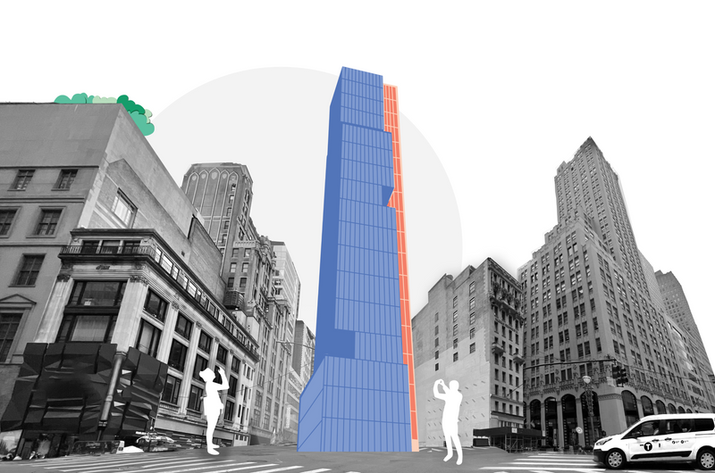
inCitu takes proposed and upcoming development information from private and publicly available sources and transforms the data into a tangible 3D visualization, geofenced in augmented reality to their future build site, in real-world scale. inCitu’s visualizations empower residents, developers, and city governments to collaboratively and inclusively shape their communities.
In Depth
inCitu provides AR visualization for urban development — allowing stakeholders to see proposed buildings at actual scale in their real-world context. AI aligns the proposed building model with the physical site using GPS and computer vision.
Tool Details
Frequently Asked Questions
inCitu takes proposed and upcoming development information from private and publicly available sources and transforms the data into a tangible 3D visualization, geofenced in augmented reality to their future build site, in real-world scale. inCitu’s visualizations empower residents, developers, and city governments to collaboratively and inclusively shape their communities.
inCitu’s visualizations empower residents, developers, and city governments to collaboratively and inclusively shape their communities.