


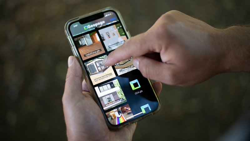
Geopogo
Present to clients on site with virtual AR full size design mock ups and architectural scaled models
Definition
Present to clients on site with virtual AR full size design mock ups and architectural scaled models Geopogo is used in architecture, engineering, and construction workflows.
In Depth
Geopogo provides interactive 3D mapping for development planning. AI analyzes the 3D terrain data to support site selection, feasibility analysis, and stakeholder presentations.
Tool Details
Base Plan
More than 30 days
Nomic Use Cases
See how Nomic applies this in production AEC workflows:
Frequently Asked Questions
Present to clients on site with virtual AR full size design mock ups and architectural scaled models Geopogo is used in architecture, engineering, and construction workflows.
Project Research: Instantly access all project-critical information from a single search interface.