


Kaarta
App for real-time mobile 3D reality capture, mapping complex environments
Definition
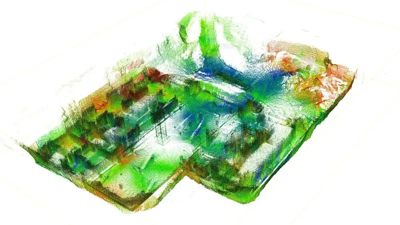
Kaarta uses 3D scanning devices to transform real-world sites and projects into a digital twin for applications across architectural, geospatial, and autonomous robotics usage.
In Depth
Kaarta provides real-time 3D mapping technology using SLAM (Simultaneous Localization and Mapping). AI processes the sensor data to generate 3D maps of interior spaces in real time as the user walks through the building.
Tool Details
Website
www.kaarta.com/
Frequently Asked Questions
Kaarta uses 3D scanning devices to transform real-world sites and projects into a digital twin for applications across architectural, geospatial, and autonomous robotics usage.