


vGIS
vGIS is a leading high-accuracy augmented reality (also known as AR or XR - extended reality) visualization platform. vGIS transforms spatial data — BIM, GIS and 3D scans — into descriptive AR visuals to power mobile productivity tools.
Definition
Contact info@vgis.io or submit a free demo request at www.vgis.io to start making the most out of your data. It falls under AR & VR category.
In Depth
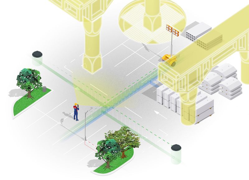
vGIS provides augmented reality for underground infrastructure visualization. AI processes GIS data and overlays underground utilities on the real-world view through AR devices, helping crews avoid utility strikes during excavation.
Tool Details
VGIS AR - Per Device
More than 30 days
Examples
Using vGIS for BIM modeling and coordination
Nomic Use Cases
See how Nomic applies this in production AEC workflows:
Frequently Asked Questions
Contact info@vgis.io or submit a free demo request at www.vgis.io to start making the most out of your data. It falls under AR & VR category.
Using vGIS for BIM modeling and coordination.
Project Research: Instantly access all project-critical information from a single search interface.